AGLoc++: WiFi-Fused Global Localization and Monte Carlo Enhanced Tracking
Extension of indoor LiDAR localization system based on hierarchical area graphs, integrating WiFi-aided kidnap recovery and Nav2 navigation stack
Motivation
Dynamic indoor environments make lifelong localization difficult: people and movable objects cause drift, kidnap events can reset tracking, and multi-floor spaces require robust map management. AGLoc++ targets these challenges with a resilient indoor localization and tracking system designed for real-world navigation.
Contributions
- Migrated the full system to ROS2 Humble with an optimized architecture and data flow.
- Integrated WiFi-aided kidnap recovery via fingerprint mapping for rapid coarse re-localization.
- Achieved seamless Nav2 integration as a drop-in replacement for AMCL.
- Enabled multi-floor awareness with automatic floor identification and map switching.
- Designed an odometry-fused Monte Carlo tracking module for enhanced robustness (in progress).


Method Overview
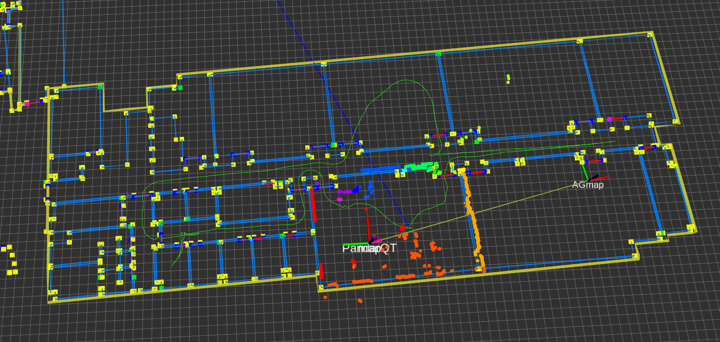
The system filters transient objects from 3D LiDAR and focuses on permanent structures. A hypothesis-scoring global localization generates and evaluates candidate poses for robust re-localization, followed by weighted point-to-line ICP to track poses with high accuracy, even in cluttered spaces.
System Architecture

Results
- Accuracy: < 0.15 m average localization error; < 3° angular error
- Robustness: > 95% success rate in challenging indoor environments
- Throughput: Real-time at 10 Hz
- Resource Usage: < 500 MB memory; < 30% CPU on Intel i7
Tech Stack
- Programming Languages: C++17, Python 3.8+
- Robotics Framework: ROS2 Humble
- Navigation System: Nav2 Navigation Stack
- Point Cloud Processing: PCL (Point Cloud Library)
- Mathematical Libraries: Eigen3, GTSAM
- Visualization: RViz2, Matplotlib
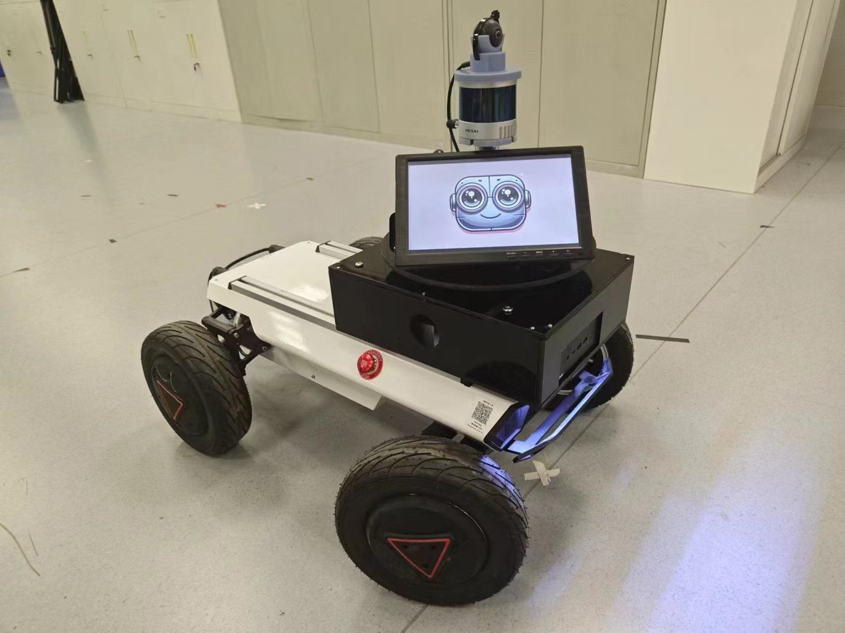
- Hardware Platform: Agile X HUNTER SE, Hesai PandarQT64
Next Steps
Finalize the odometry-fused Monte Carlo tracking module, enhance automatic re-localization strategies, and scale to broader multi-floor deployments with further performance optimizations and real-world validations.
Project Team
- Current Work: Jiajie Zhang (zhangjj2023@shanghaitech.edu.cn)
- Previous Work: Fujing Xie (xiefj@shanghaitech.edu.cn)
- Advisor: Professor Sören Schwertfeger
Related Resources
- Original Paper: AGLoc: Robust Lifelong Indoor LiDAR Localization using the Area Graph
- Code Repository: GitHub Repository
This project is supported by the MARS Lab at ShanghaiTech University and represents a key component of our ongoing research in mobile robotics.